One of the best-known characters from history with a connection to Penzance was Sir Walter Raleigh. He reportedly sat as member for Penzance in the last Parliament under the reign of Queen Elizabeth I. It is widely reported – though not corroborated – that, having discovered the dubious delights of tobacco after estalishing a colony in Virginia in 1584, Sir Walter headed to the Dolphin Inn on Penzance harbourside for a pint, and while there performed the first known act of smoking in an English pub. So, next time you find yourself walking along your local high street, dodging the clouds of smoke billowing through the air courtesy of the forlorn knots of smokers standing outside its hostelries, just remember: it’s all Sir Walter’s fault.
Today, my home town of Penzance is a popular tourist town, not quite as photogenic as its near neighbour St Ives, but rapidly acquiring an air of sophistication through the opening of a number of smart new restaurants, as well as galleries such as the
Cornwall Contemporary and
The Exchange. A more established gallery, inside the grounds of Penlee Park, is
Penlee House Gallery and Museum. The oldest street in Penzance is Chapel Street, with a number of interesting buildings, most notably the
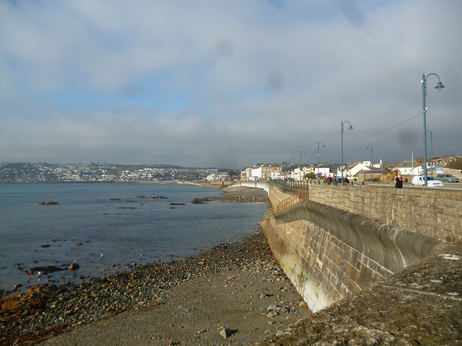
Egyptian House, which is now owned by the Landmark Trust and has been turned into holiday apartments. Down on the seafront is the Promenade, which is routinely battered by waves during rough weather - check out the link to the webcam below on stormy days to see what I mean. I have fond memories of walking, or running, along the prom with my friends with the waves crashing over, seeing who could come out the other end the driest. Also on the seafront is the
Jubilee Pool, a magnificent example of the 1930s lido, where I also spent many a happy afternoon as a child. The lido has recently undergone an extensive refurbishment following storm damage, and there has been talk of turning it into a heated pool using geothermal energy.
The absolute must-do event of the year in Penzance in my opinion is the annual
Golowan Festival, which takes place in the latter part of June. This incredibly diverse and colourful celebration of all things Celtic is at times more reminiscent of a Latin carnival, especially at its climax, on Mazey Day, when the town comes alive with processions of people of all ages wearing different costumes, and larger-than-life figures such as insects and fantastical creatures, while all over the town colourful flags and banners flutter in the sea breeze. Meanwhile, a programme of live music events, some free, some not, takes place in a marquee near the harbour. For more events in Penzance and surrounding area, see
here.
 |
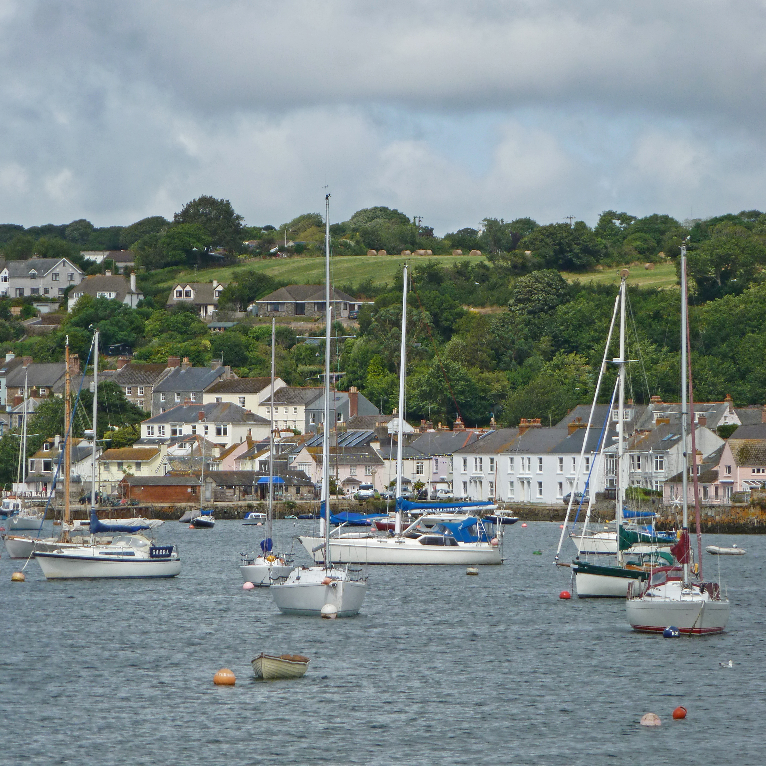
| The Harbour |
 |
| The Promenade, looking towards Newlyn |
Live streaming ebcam view of the Promenade.
Map of the area.


.jpg)
.jpg)
.jpg)
.jpg)
.jpg)
.jpg)
.jpg)