In the year 122 the Roman Emperor Hadrian, as part of his
bid to secure his empire with fortifications, ordered the building of a wall
across northern Britain
with forts dotted at intervals along its length. Much of the wall, which came to be known as Hadrian's Wall, remains today, and it is the most visible
reminder of Roman Britain. In 2003 a
National Trail was unveiled which follows the route of the wall, starting from
Wallsend in the east and ending at Bowness-On-Solway in the west. Those who have toiled along the trail,
braving the windswept northern uplands that the route passes through, will no
doubt feel a growing sense of achievement on reaching the shores of the Solway
Firth at Drumburgh, from where it is only around four miles to journey's end. Drumburgh was the location of Concavata, the
penultimate fort on the wall. Hardly
anything remains of the fort today, although the sharp turn taken by the Carlisle to Bowness road in the centre of the village
follows the outline of one corner of the fort.
Bowness-On-Solway, which marks the end of the National
Trail, was the site of a fort called Maia.
This fort was particularly significant for its role in guarding the
entrance to the Solway Firth. The site was originally occupied by a
milecastle made of turf and timber; Hadrian's Wall
had a series of numbered milecastles along its length, and the one here was
number 80. The fort which replaced it
was first built of timber, then it was rebuilt in stone, and it was the second
largest fort on the whole wall. Some of the local buildings have Roman stones
in their structures, for example the Norman church of St Michael, which is
believed to lie on the site formerly occupied by the fort's granary. More details about the fort can be found on
this website about Roman Britain. Aside
from the wall, the other big draw in Bowness is its extensive sandy beach and
its birdlife, which can be found in the dunes, salt marshes, shingle beds and
peat mosses of the area, which is part of the Solway Coast Area of Outstanding Natural Beauty. Species include
oystercatchers, plover, dunlin, godwit and redshank among others.
Map of the area.
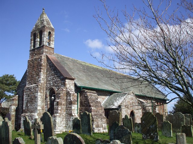 | |
| St Michael's Church, Bowness-on-Solway. Photo by John Lord, via Wikimedia Commons |
No comments:
Post a Comment